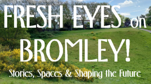
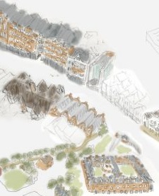
Join us to hear some stories about Bromley town centre – its origins, culture, characters, green spaces … and what the future might look like.
Part of the Bromley Little Theatre Community Festival A free event: Get your tickets here: at https://bit.ly/4vmYUAO
If you are aware you will care! There’s more to the town centre than shops and we hope to show you different ways of seeing it.
There’ll be a series of short illustrated presentations with discussion and feedback. Heritage, architecture, culture, characters, green open spaces, current changes and future development will be covered. Topics could include:
- When the Co-op came to Bromley;
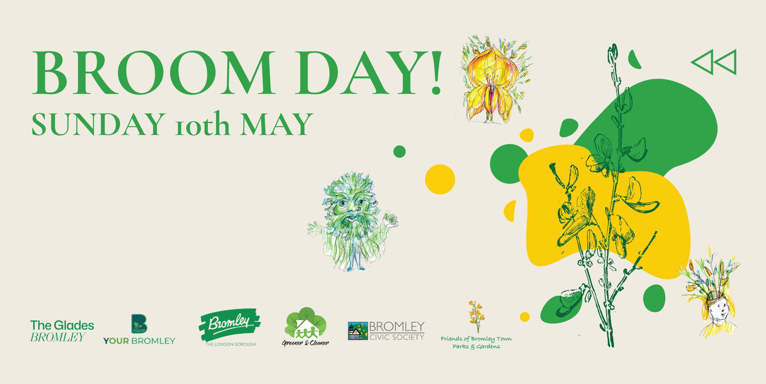
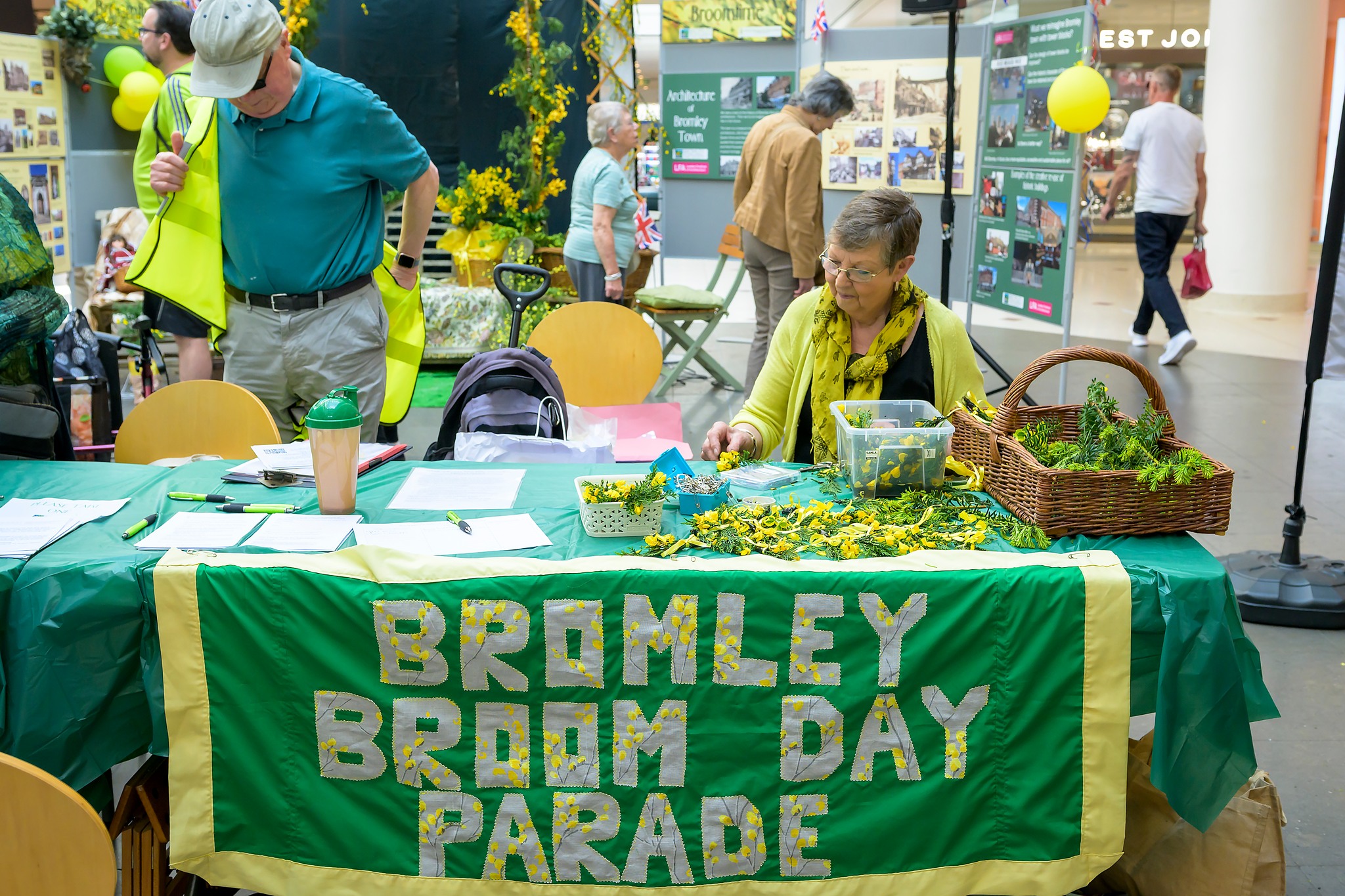
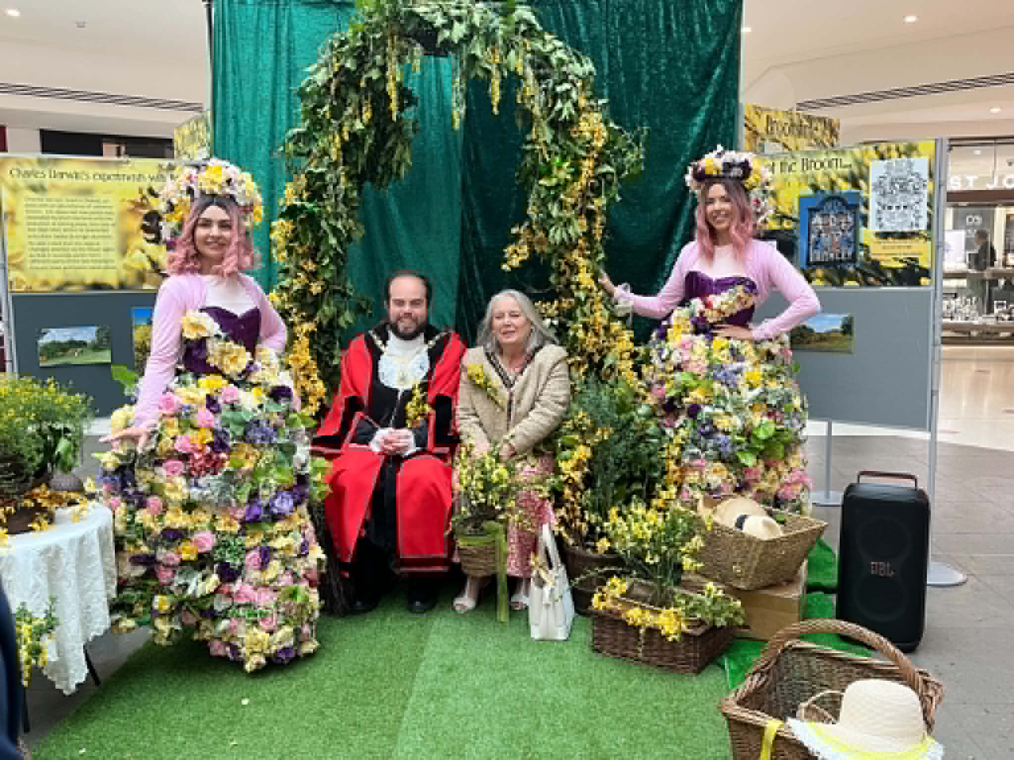
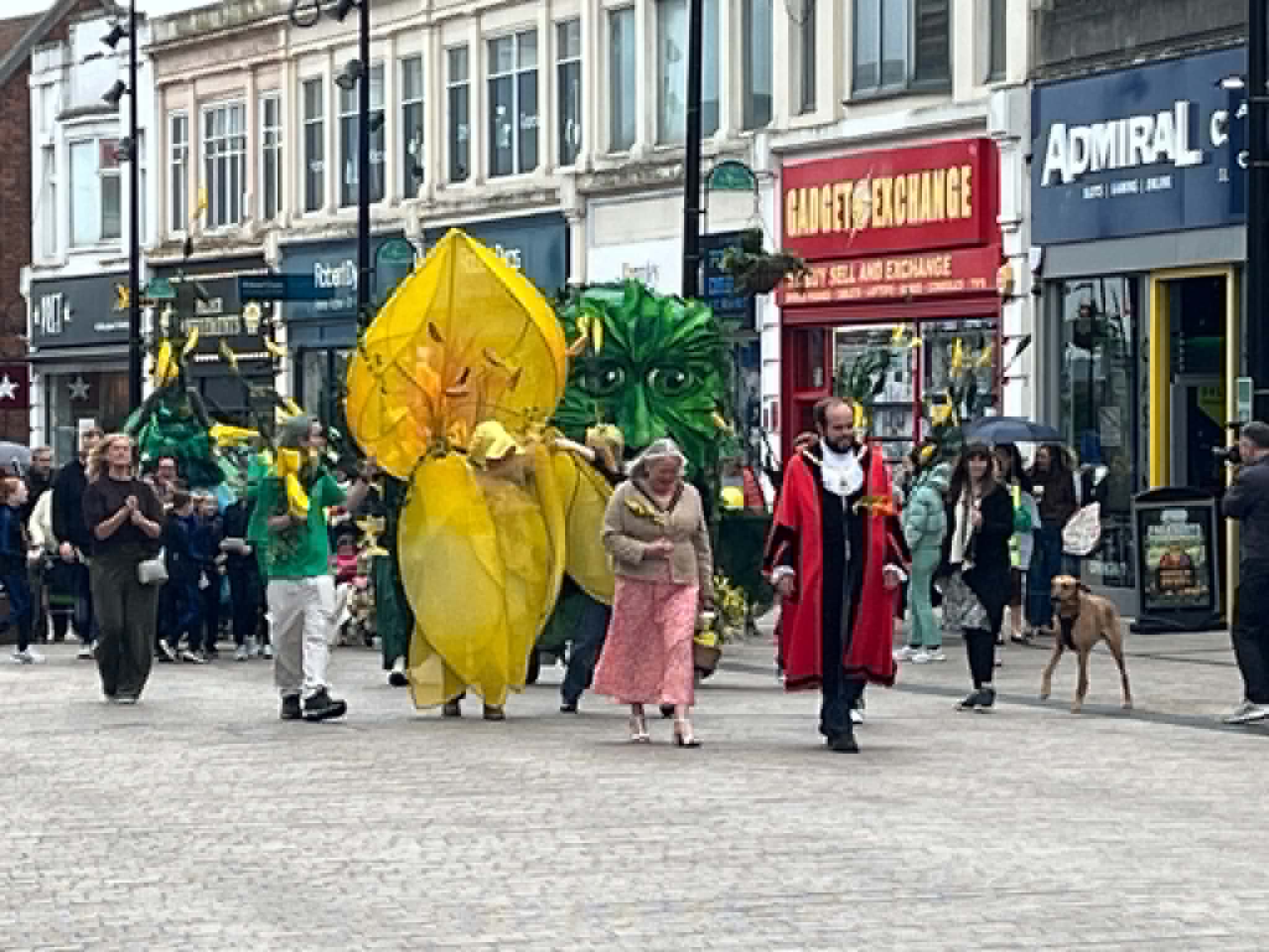
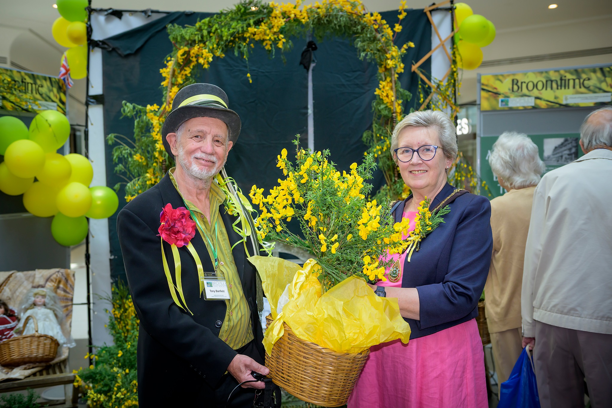
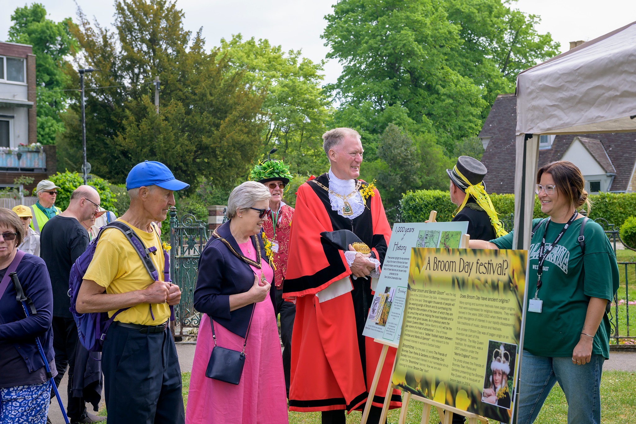
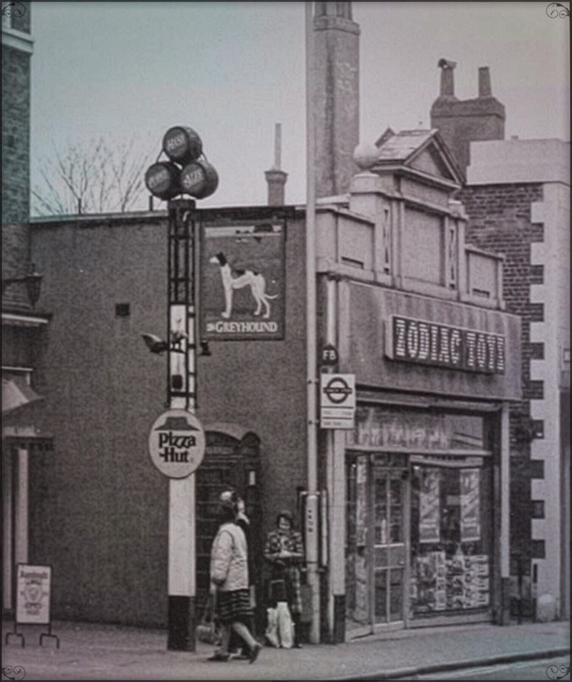
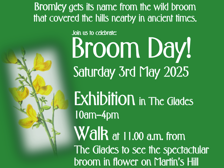
- Two butchers with civic pride and the buildings they created; Where’s the Broom in Bromley?
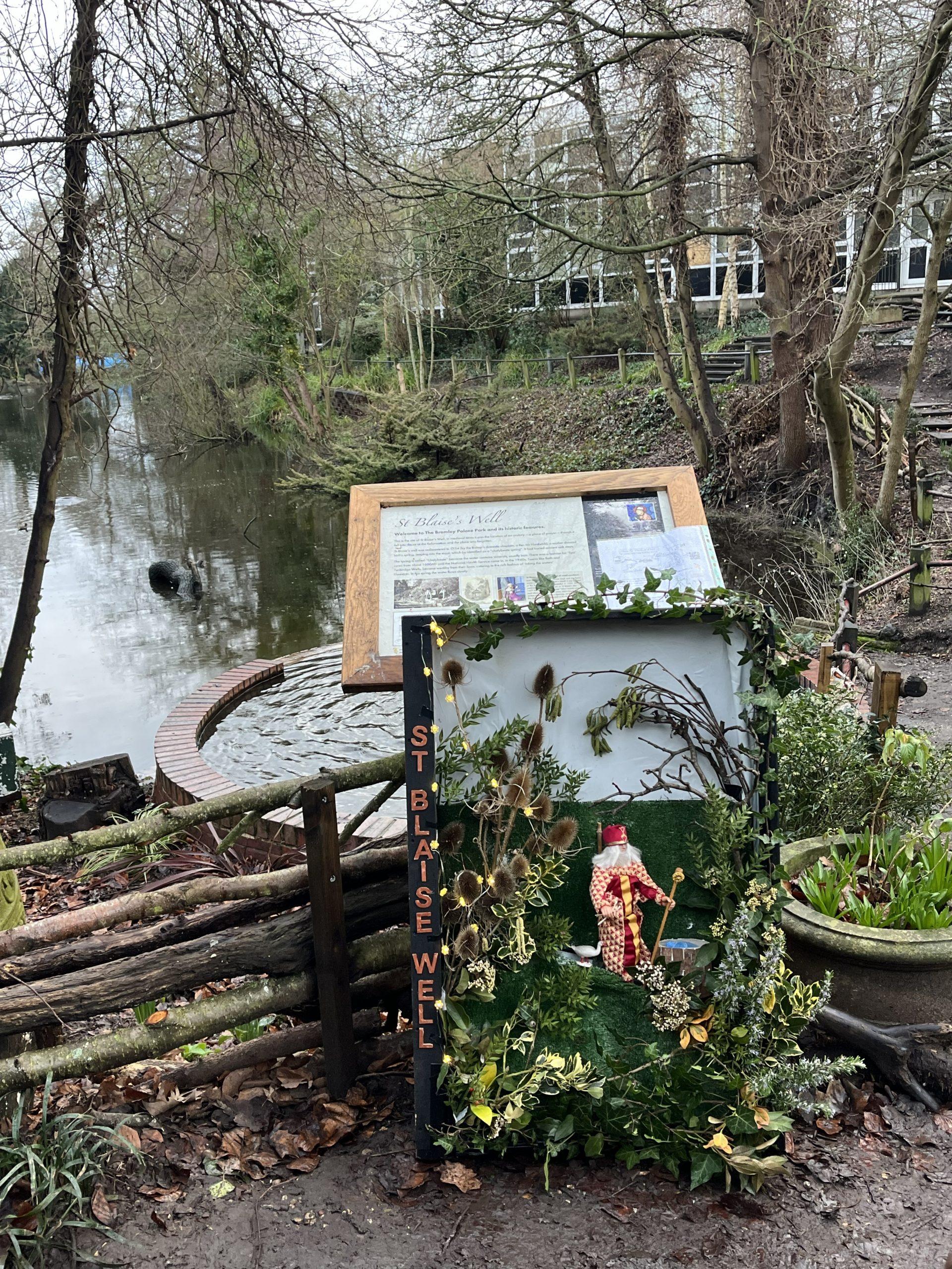
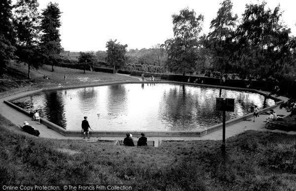
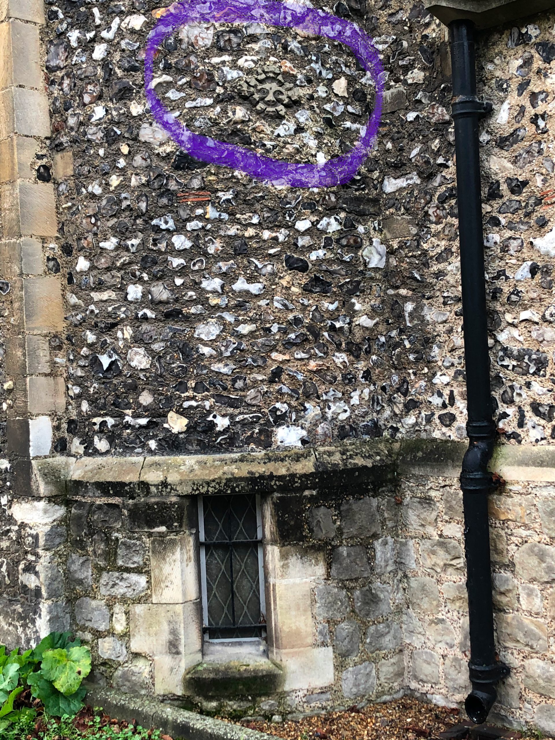
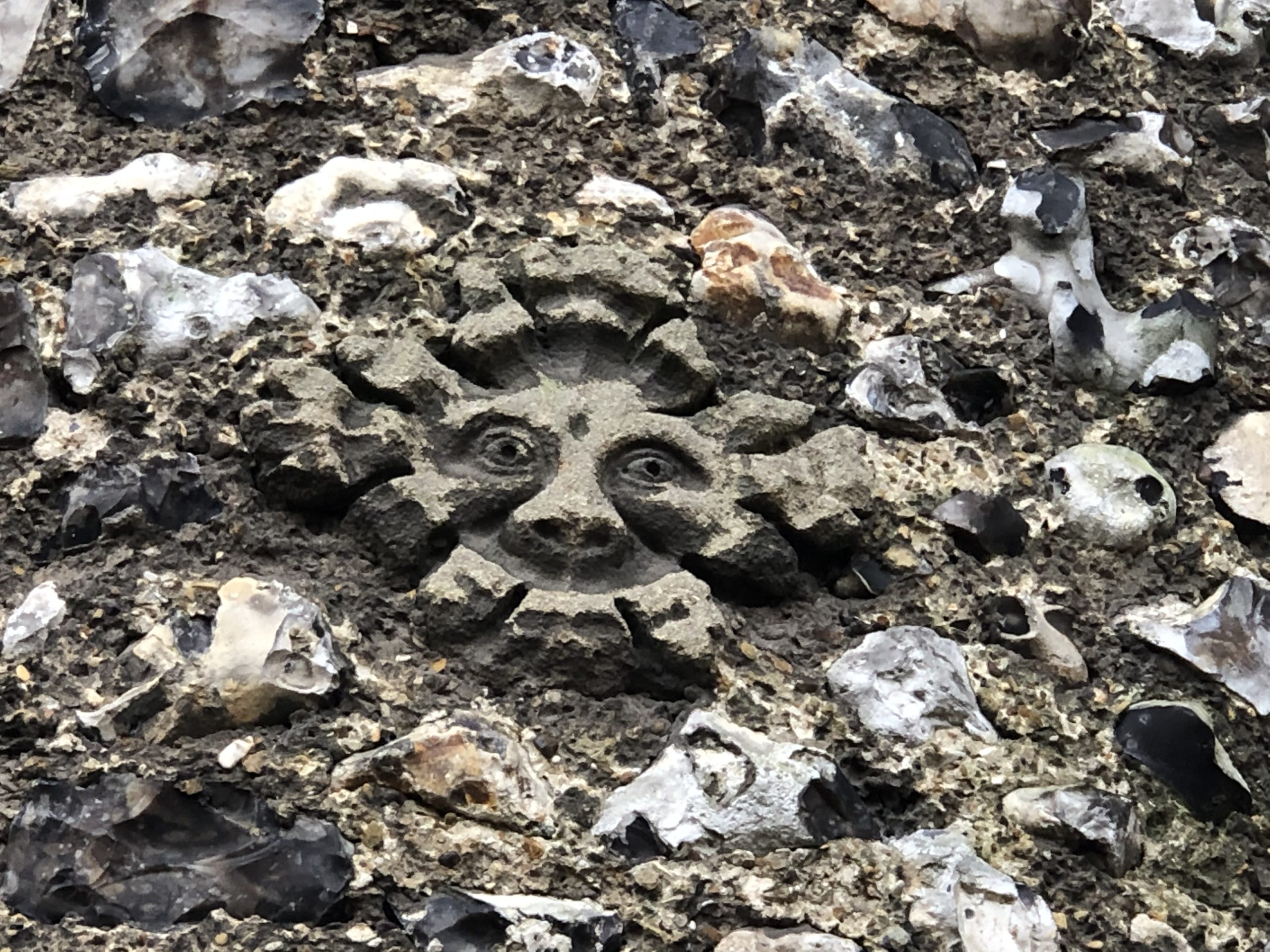
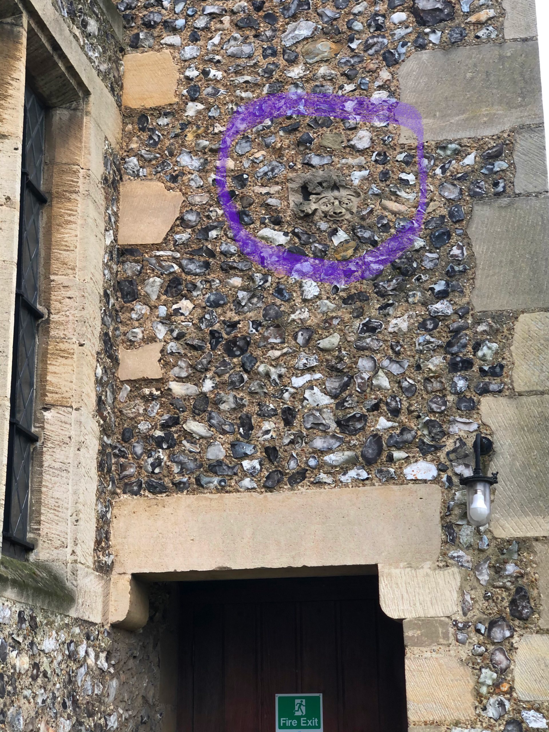
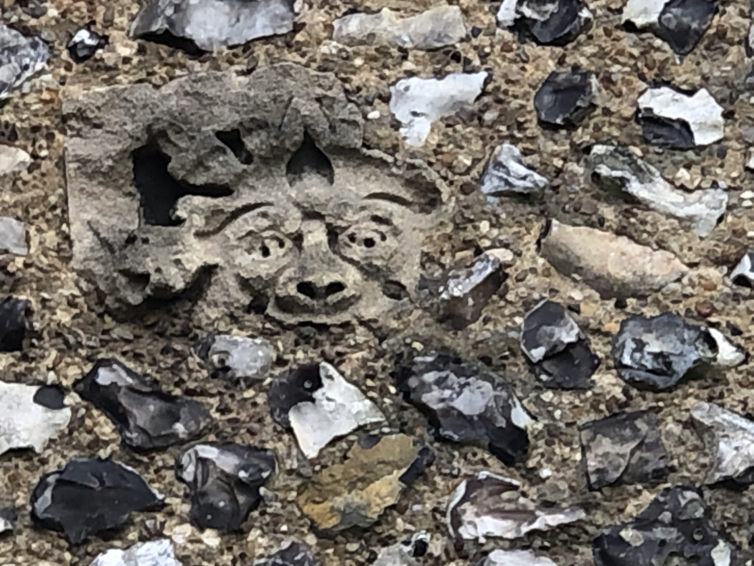
- Bromley’s Hidden Parks and Gardens
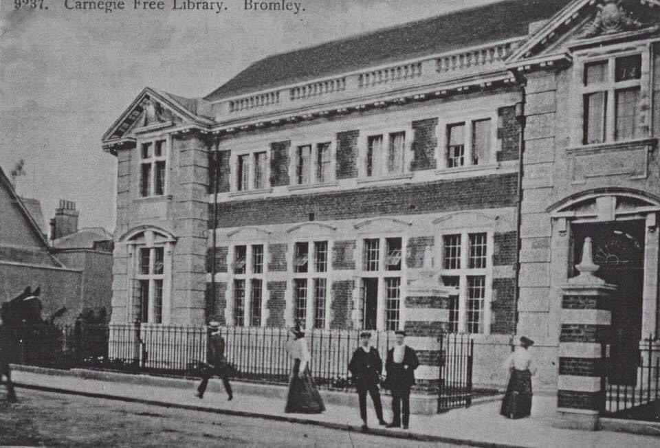
- When was Bromley’s Golden Age of Architecture?
- Wells, Bowie, and who were the Bromley Contingent?
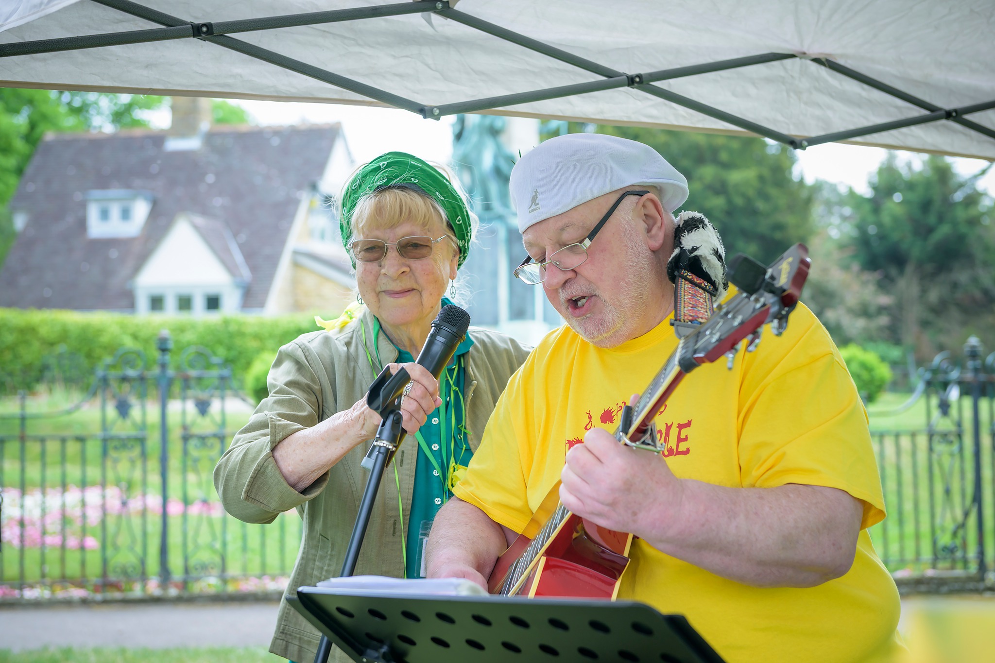
- Where’s the music in Bromley today? and
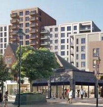
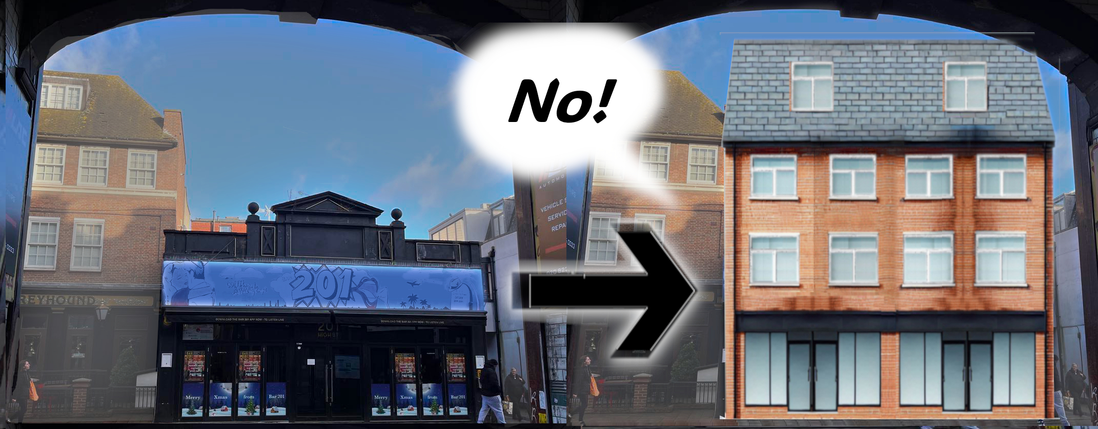
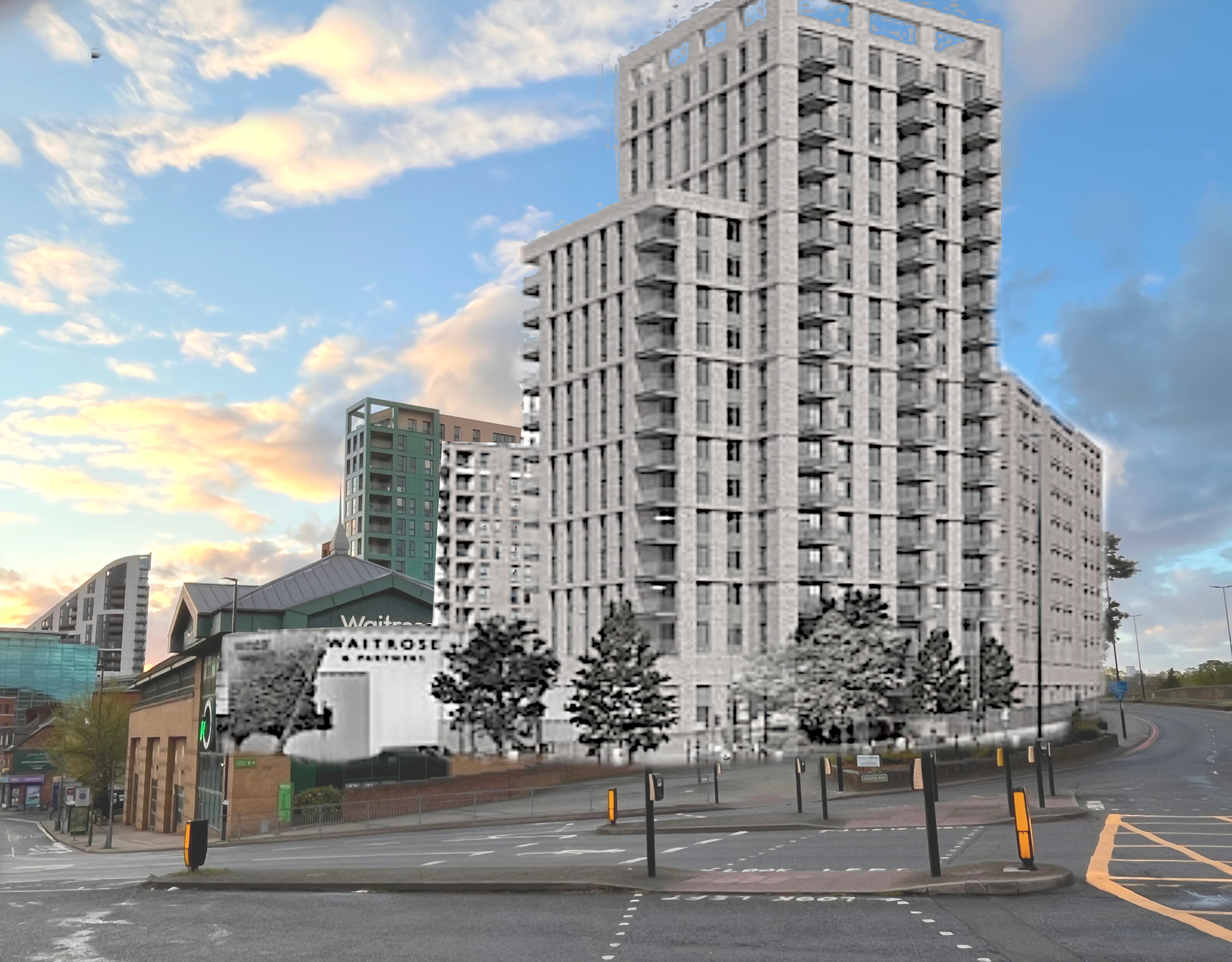
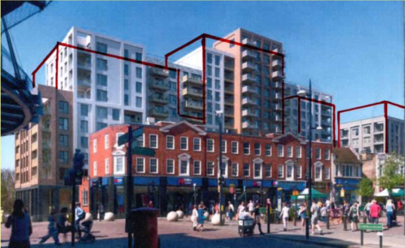
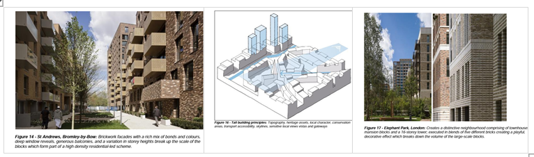
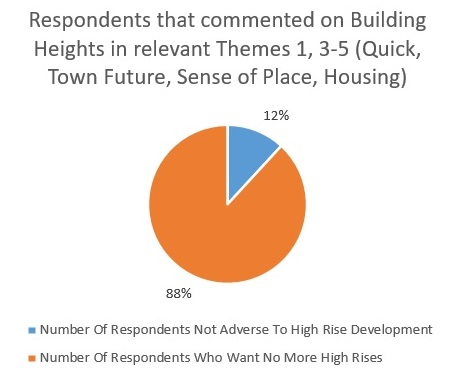
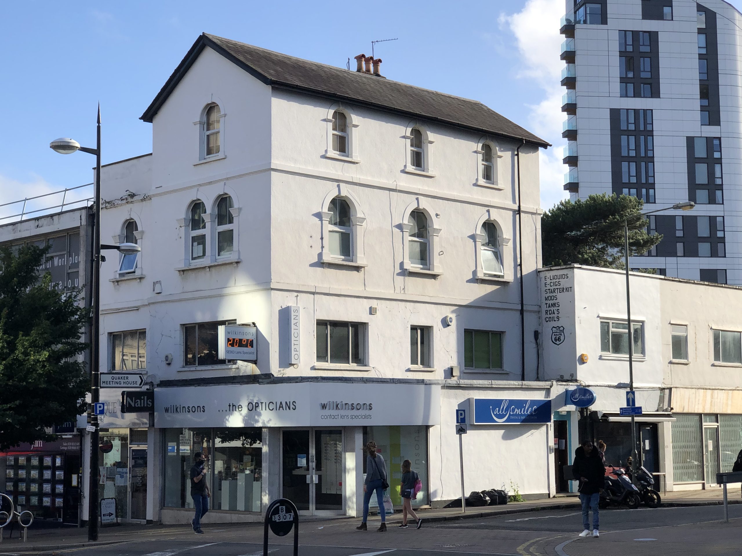
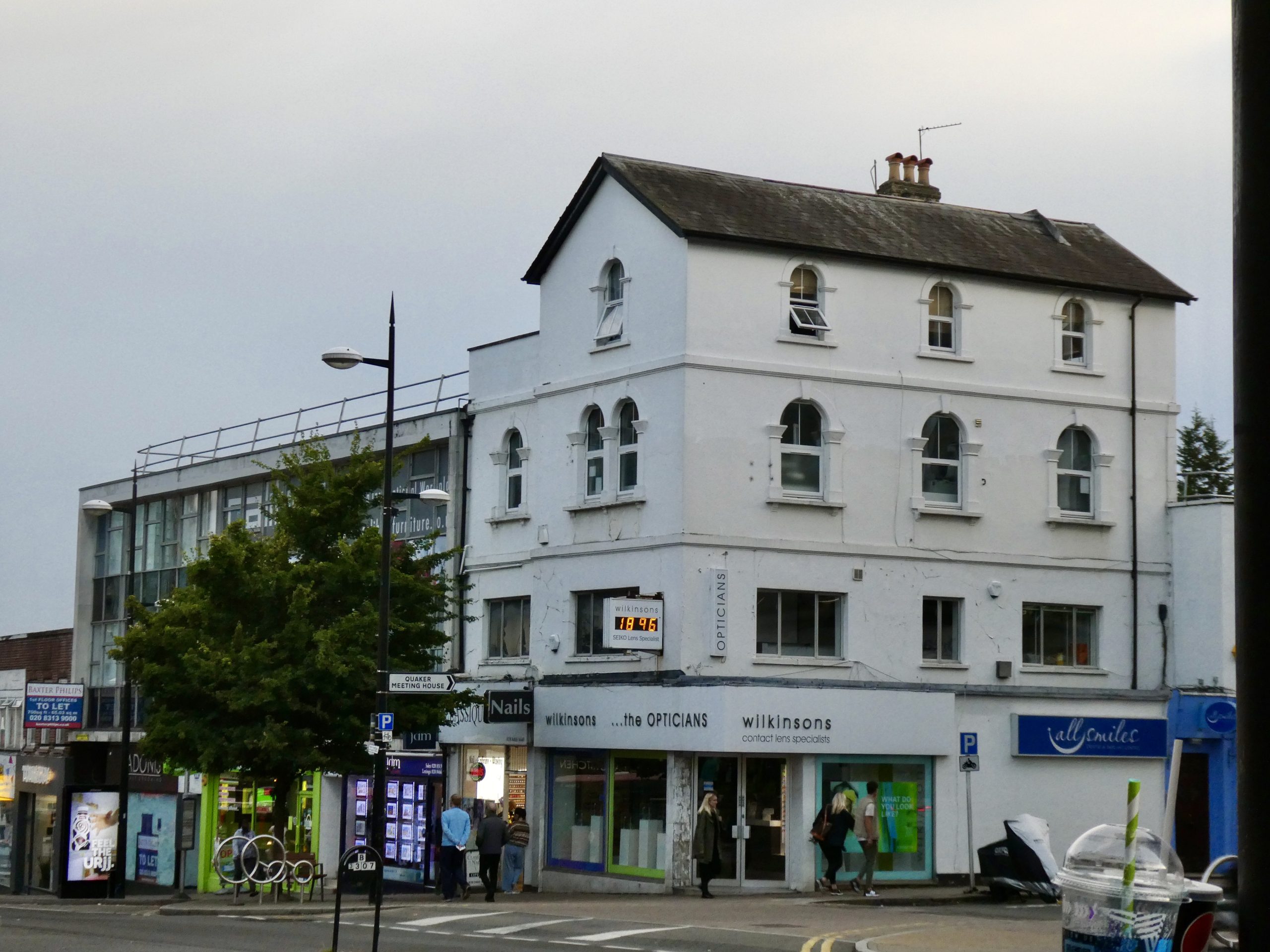
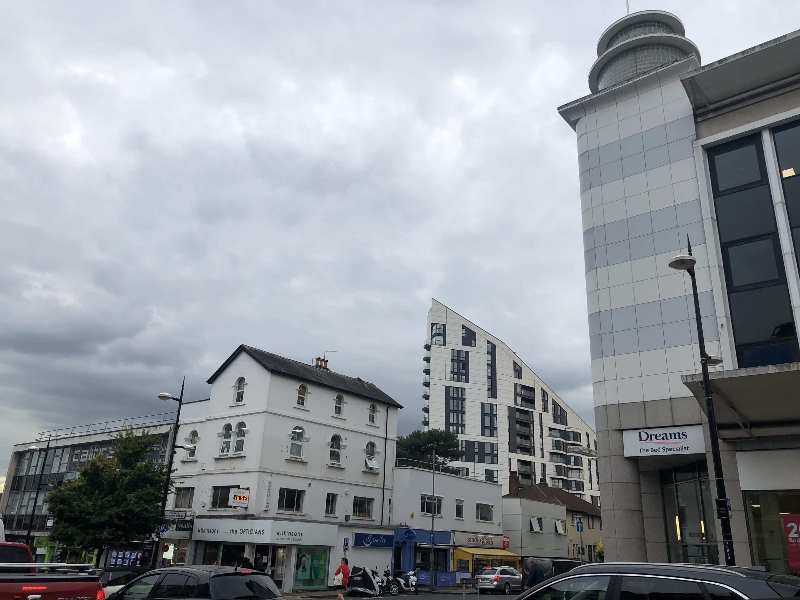
- What’s happening to Bromley town centre…an Invasion of Tower Blocks?
- There’ll be a tea break and there might even be some poetry!
Book through the link Eventbrite link above, through the Bromley Little Theatre website www.bromleylittletheatre.org or with the QR code below.


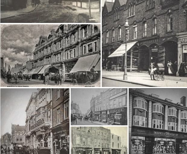 Browse our old photos, in