
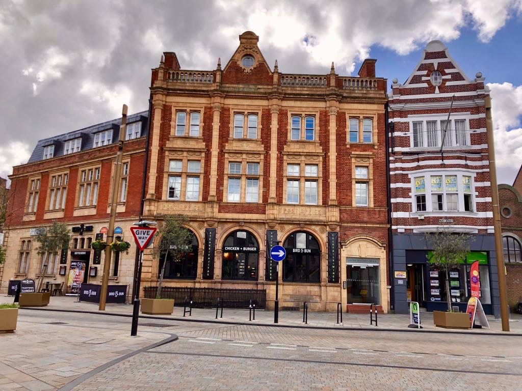
The Old Post Office in 2019, after it had been converted into flats. photo by Paul Ylaes.
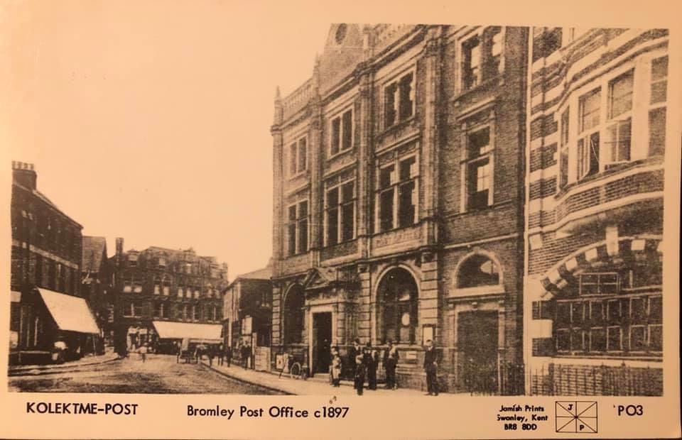
Architect: Henry Tanner
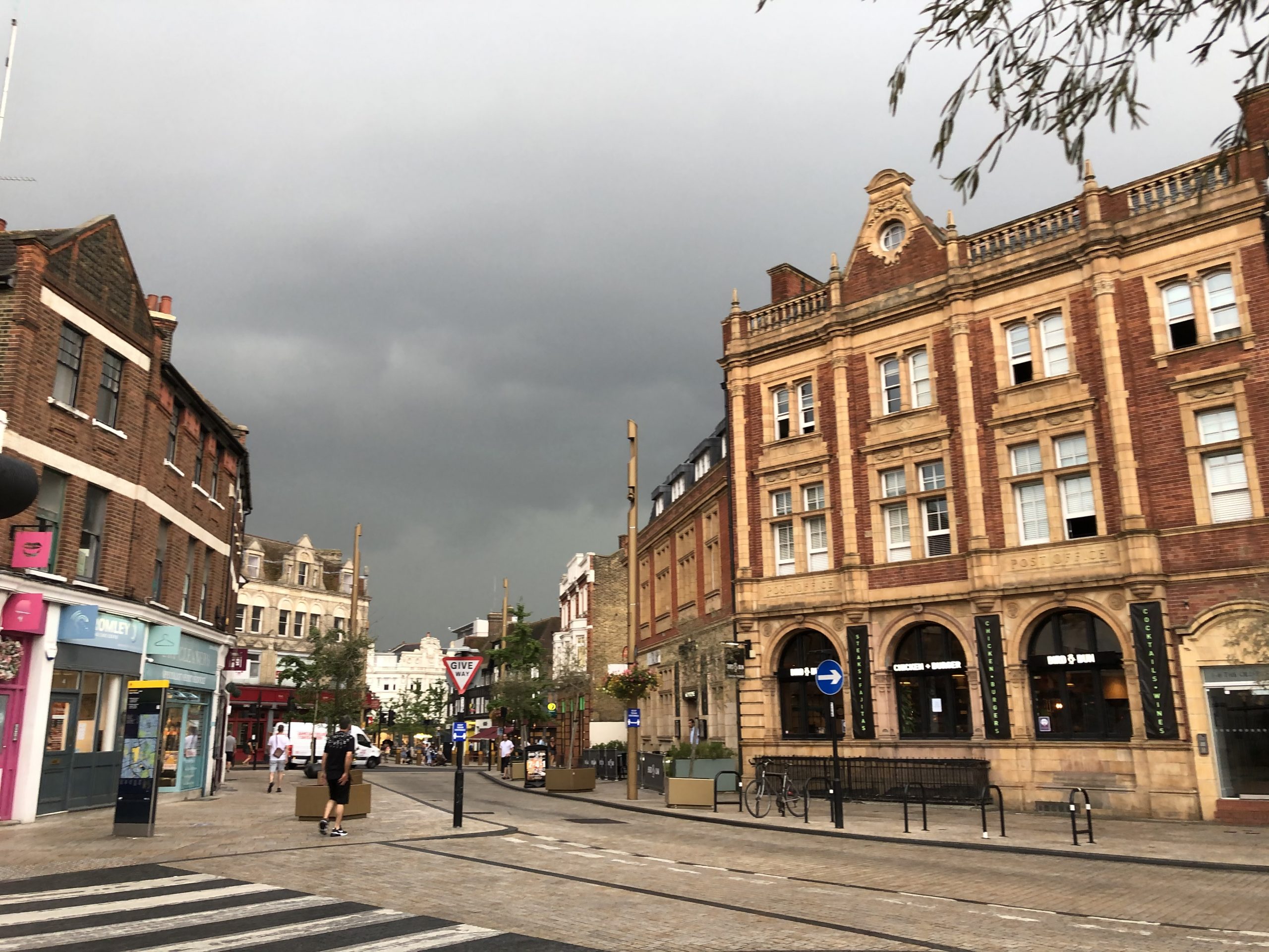
The former Post Office in West Street was completed in 1896, and like the David Greig building facing it across Market Square, uses prefabricated decorative ceramic faces – in this case, terracotta. These facings were not just economic, but very fashionable as they were used in the Royal Albert Hall. On the building is the monogram of Queen Victoria. They occupied it in 1897. The second building was added in 1913.
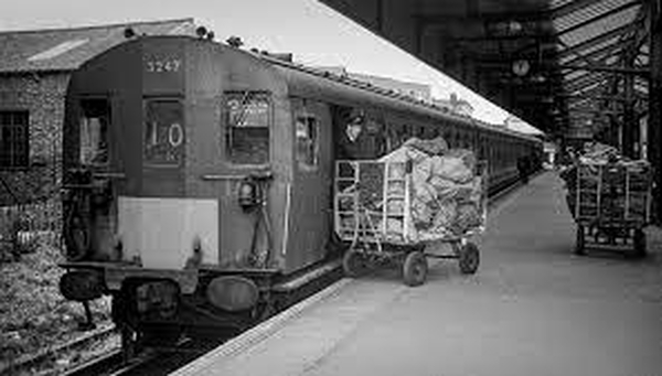
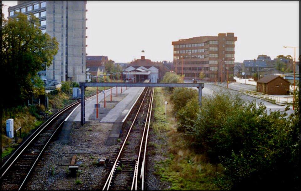
It was built when the previous premises in Market Square had become too small to cope with the rapid expansion of the town. Later still a new building was built next to Bromley North station as the sorting office; in those days mail was sent on the branch line.
More far-flung communities in Bromley did not get their mail delivered – for instance, Charles Darwin rode his horse to the post office, from his house near Downe village, on a weekly basis to collect his post.


 Browse our old photos, in
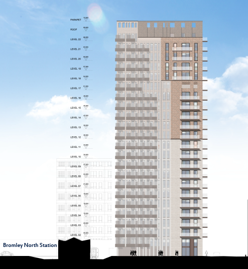
  from being dominated by tower blocks: Look here and email our ward councillors about:
*
from being dominated by tower blocks: Look here and email our ward councillors about:
*